What is Photogrammetry?
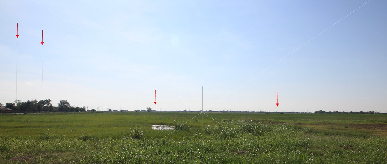
- Believe it or not, but your camera is a remote sensing instrument!
- It is possible to create an azimuthal/elevation angle grid on the photograph.
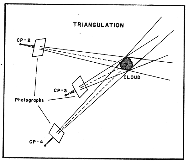
- This technique is called cloud photogrammetry
- The azimuth/elevation angle grid is created by knowing the locations of landmarks in the picture and the position of the photographer very accurately-->>
- Hence, it is important to have the horizon in your image with distinguishable features on the horizon.
- The azimuth/elevation angle grid on the image is very similar to putting lat/lons on a satellite image.
- If you have gridded pictures from more than two photo sites, it is possible to triangulate cloud locations to determine their exact locations.
- It is also possible to combine radar data with photogrammetrically analyzed photographs. Here are some examples.